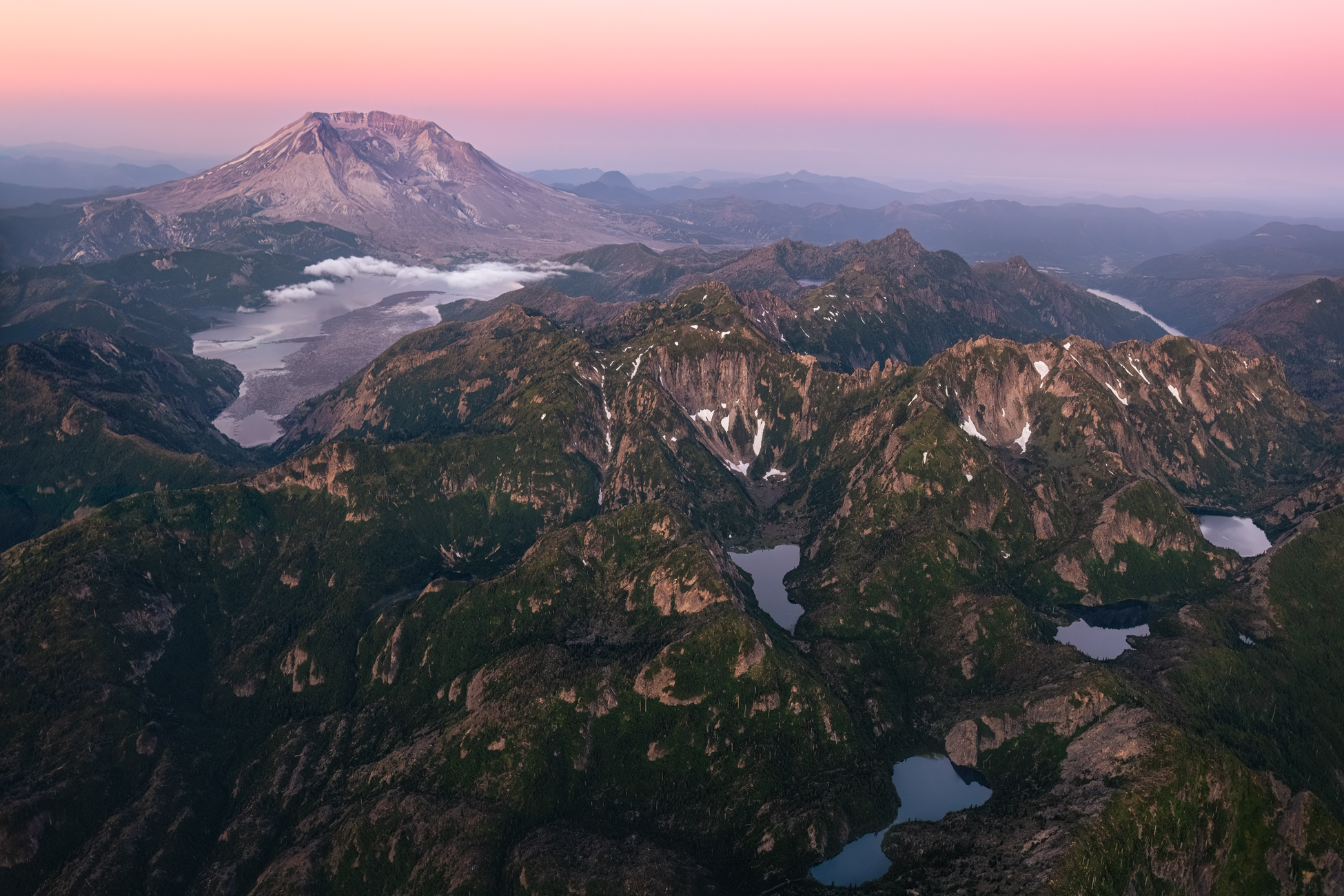
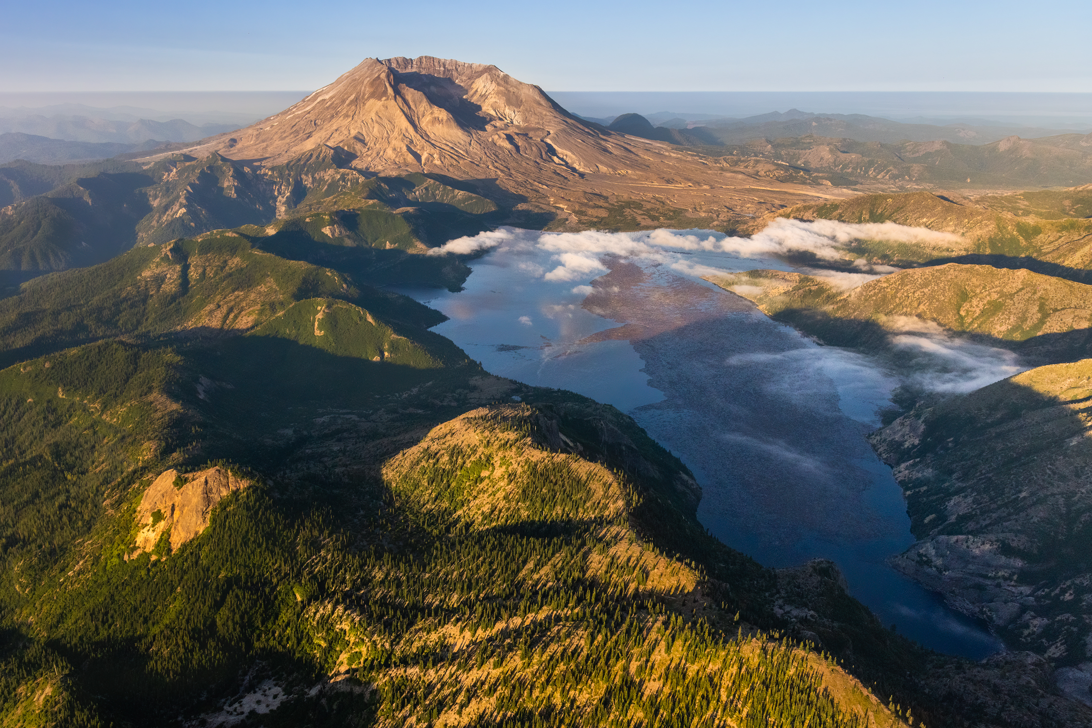
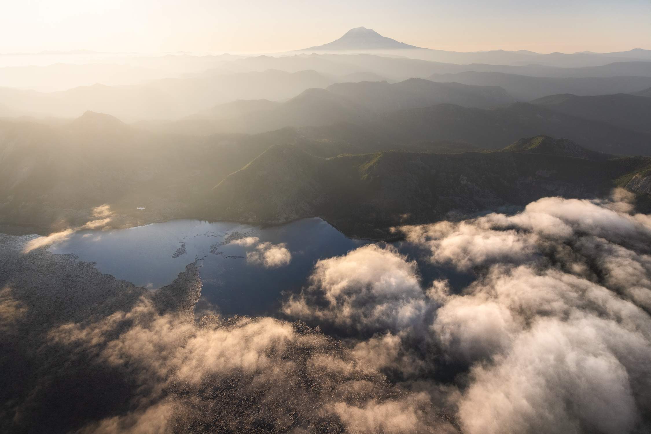
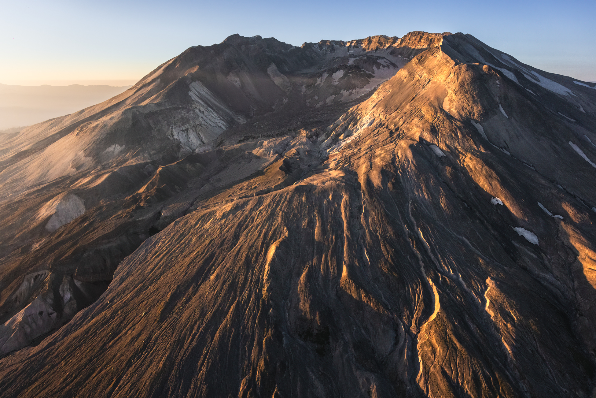
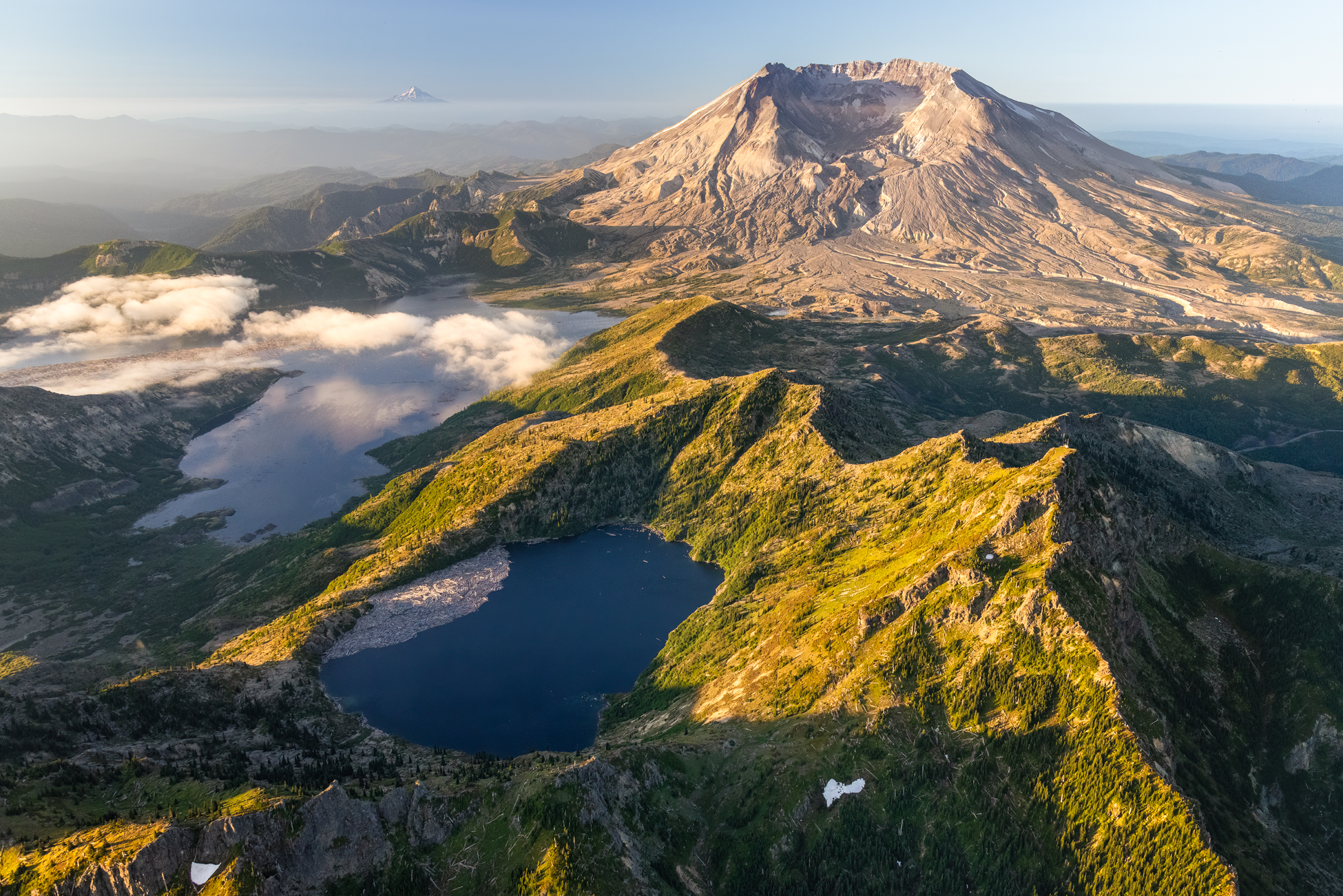
We began the flight just before sunrise as the pre-dawn glow softly illuminated Mount St Helens and the surrounding ridge-lines and alpine lakes.
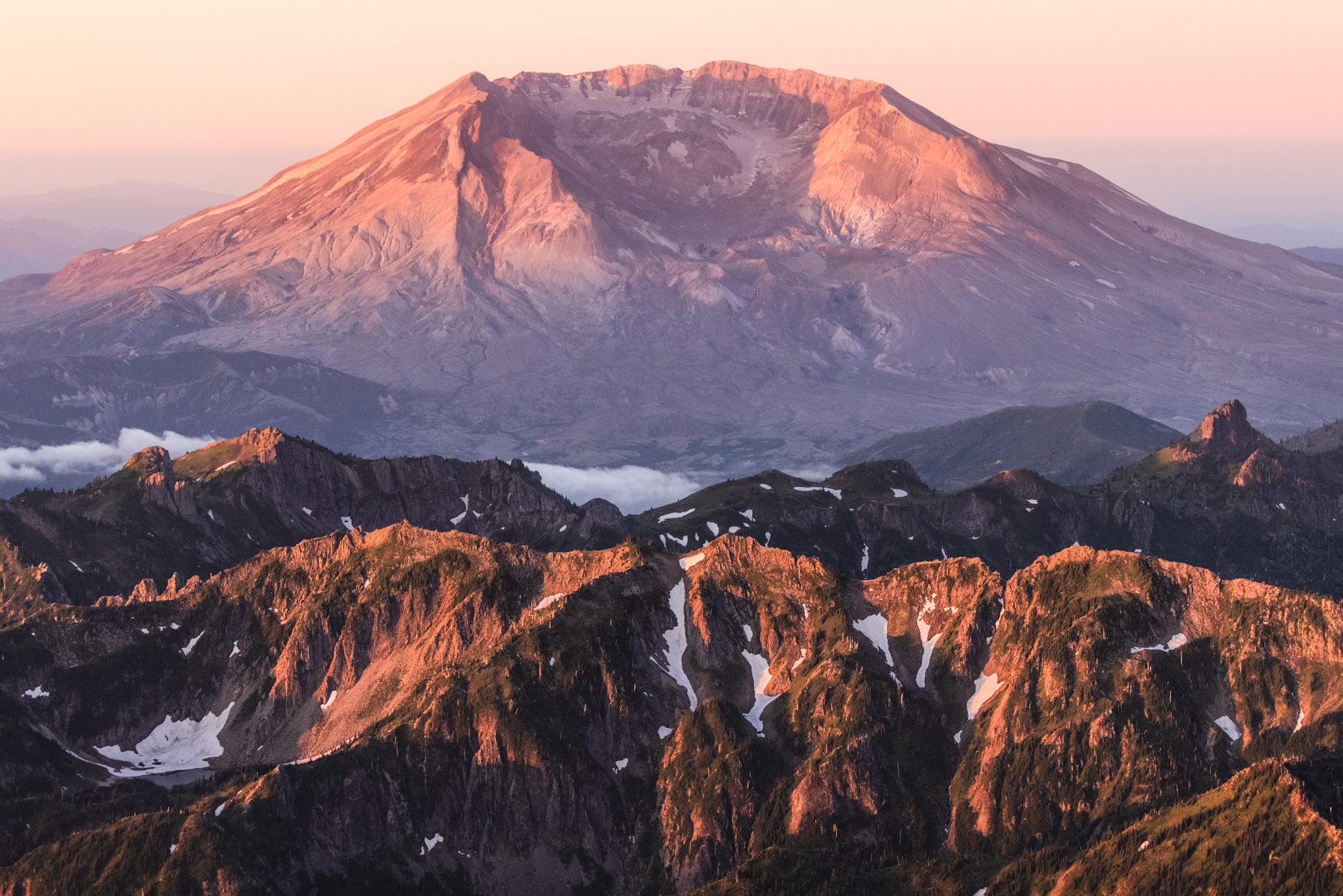
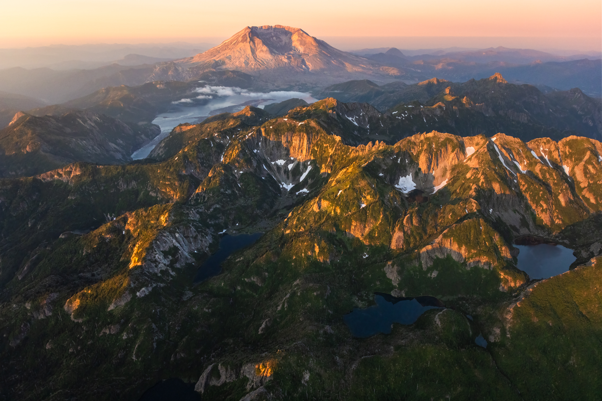
Just after sunrise, Mount St Helens quickly became illuminated by the rising sun. The lack of snow cover from the hot and dry summer became much more apparent.
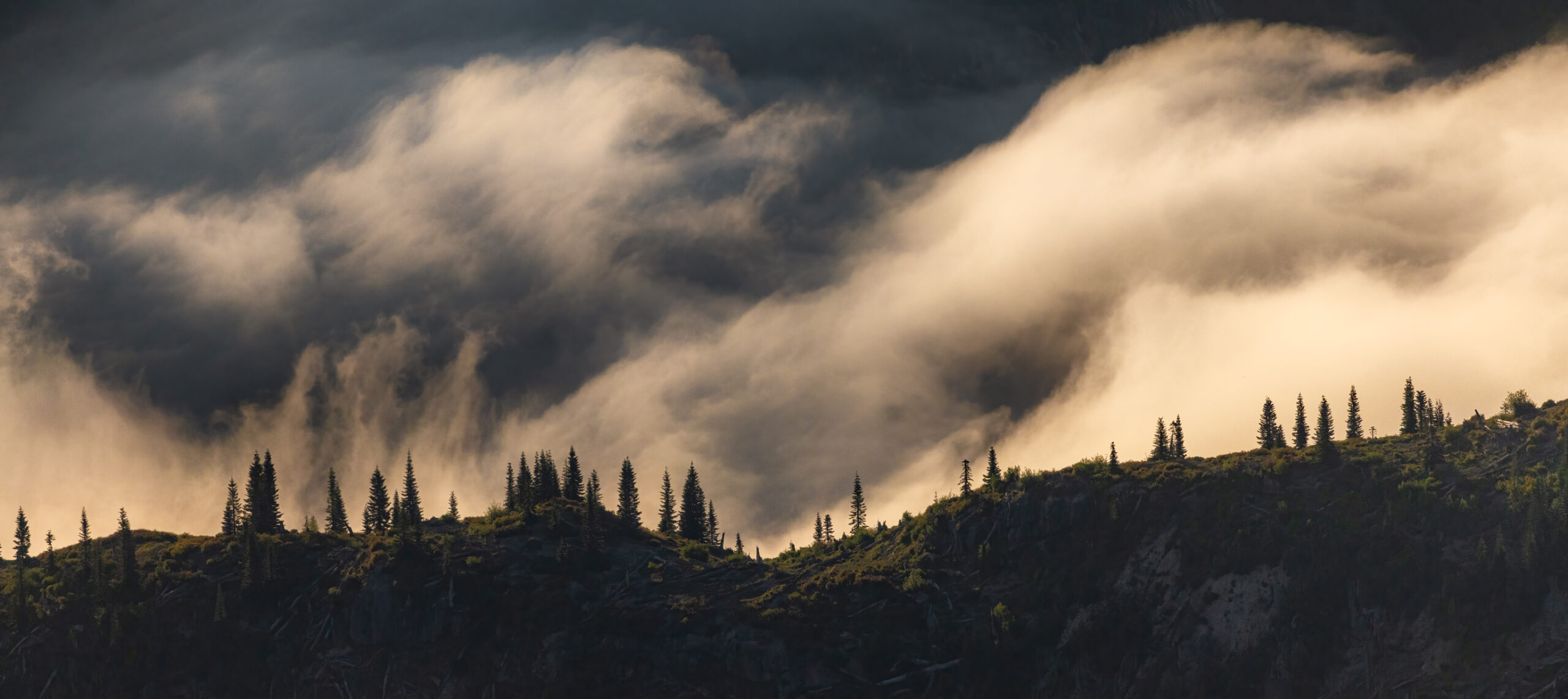
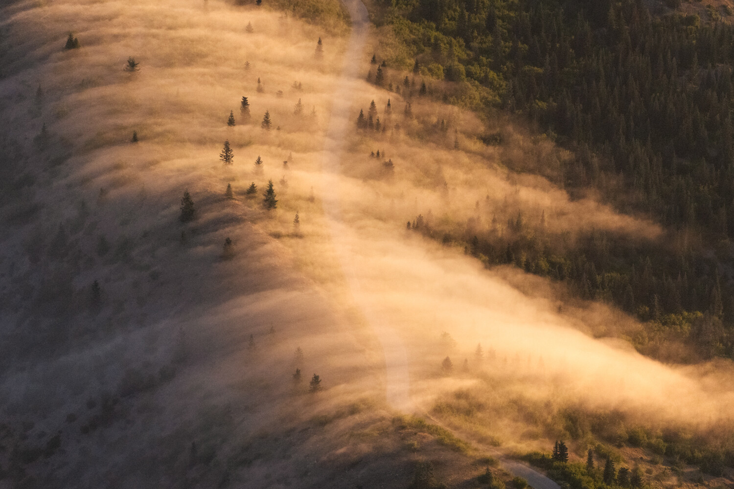
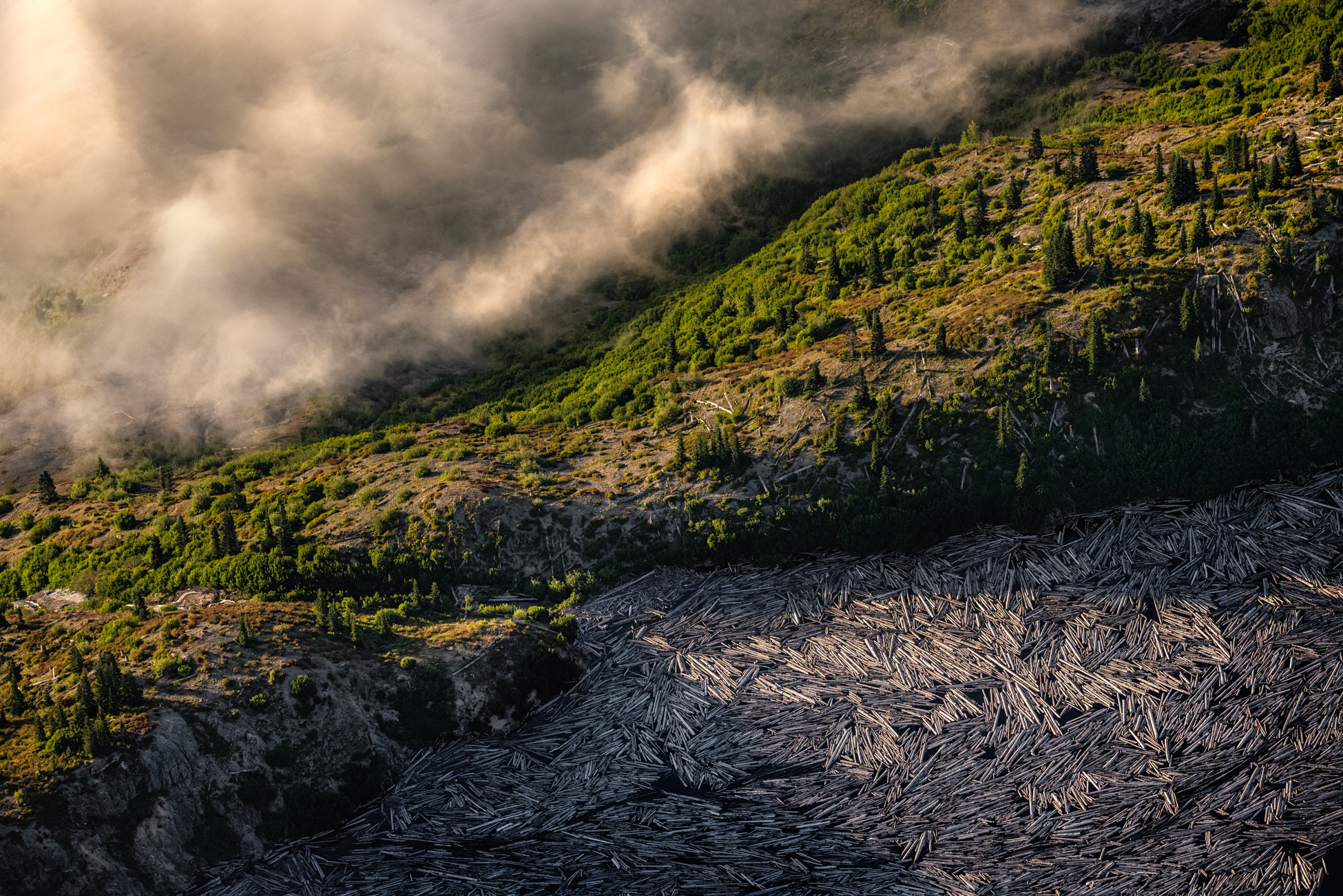
The early morning fog blanketing the landscape below was an added bonus. I loved the way the light illuminated the mist creating such a beautiful atmosphere.
Although difficult to notice at first, a remarkable remanent from the eruption of 1980 can still be seen today…
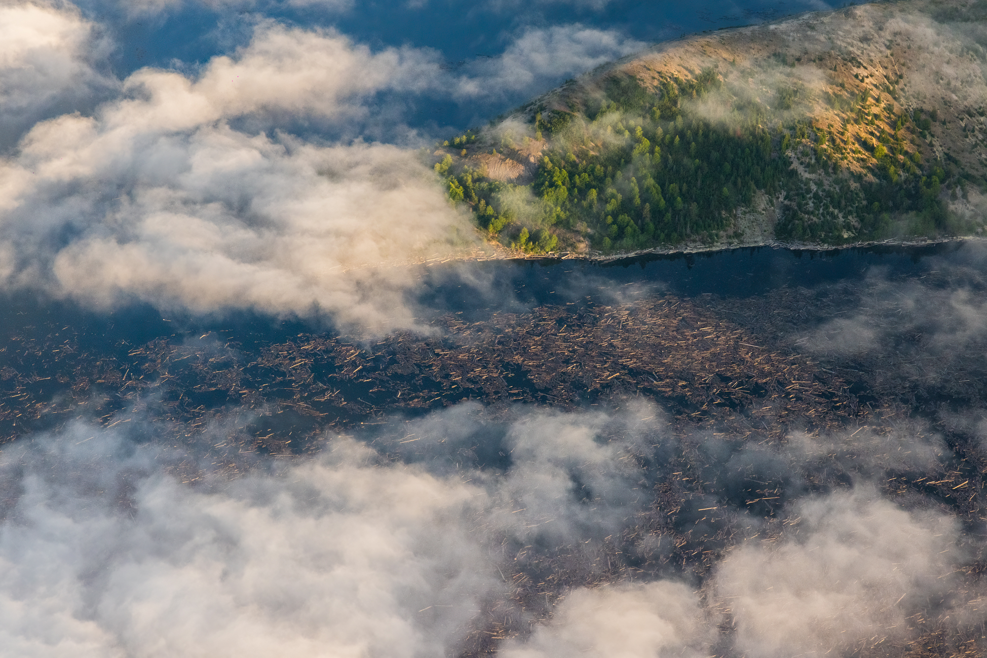
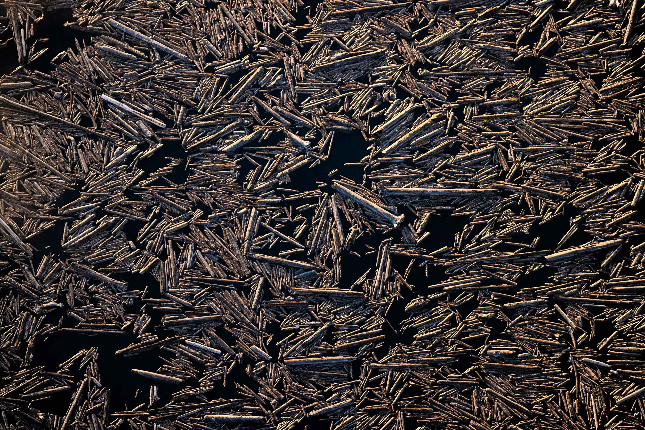
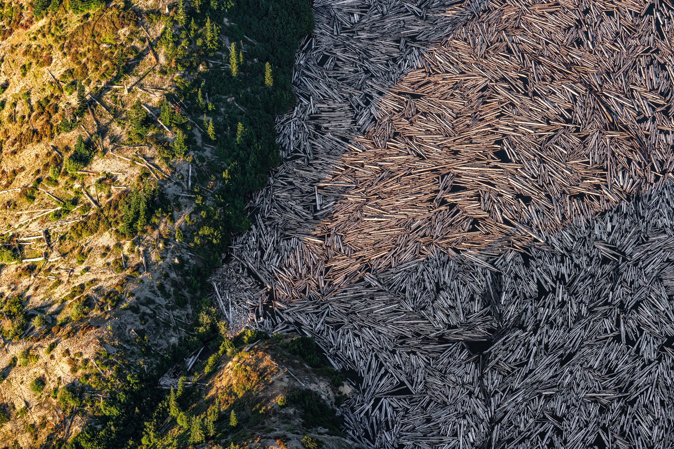
Upon closer inspection, what may appear to be an island or a shallow stretch of muddy lake is actually thousands upon thousands of trees floating in the water. During Mount St Helen’s eruption in 1980, these trees were all blasted from the surrounding hillsides and all plunged into Spirit Lake.
When viewed from above, the scale of these floating trees is beyond breathtaking…
It’s estimated that over a million trees float in Spirit Lake today.
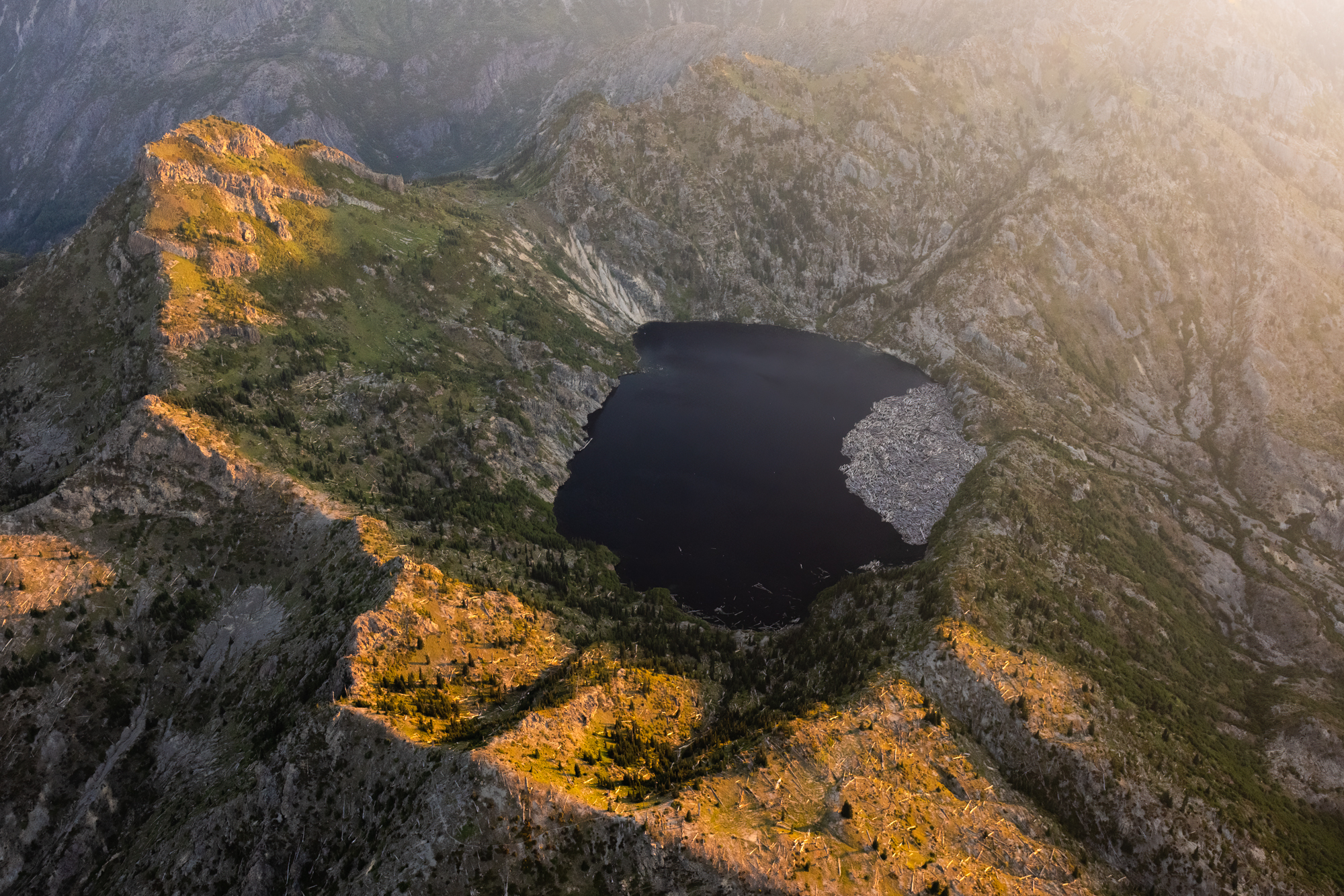
Despite being significantly smaller than Spirit Lake, Saint Helens Lake is also home to a fair amount of floating trees. I particularly enjoyed the way this ‘island’ of trees looked from above.
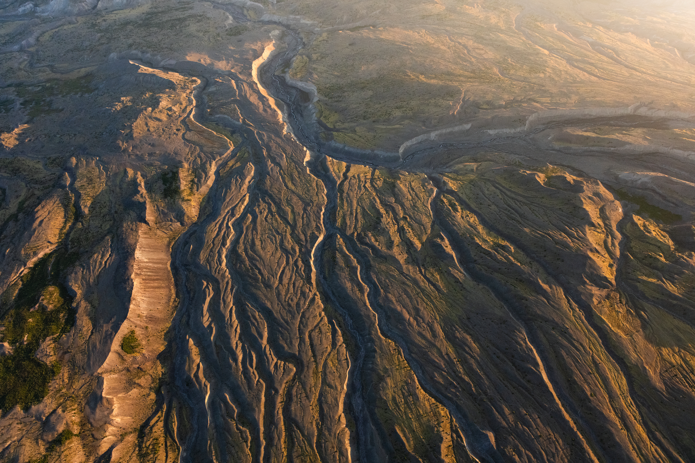
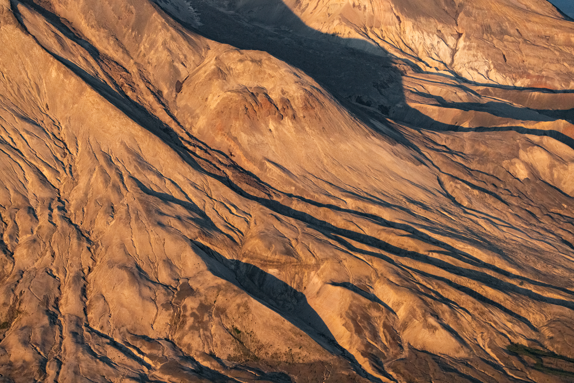
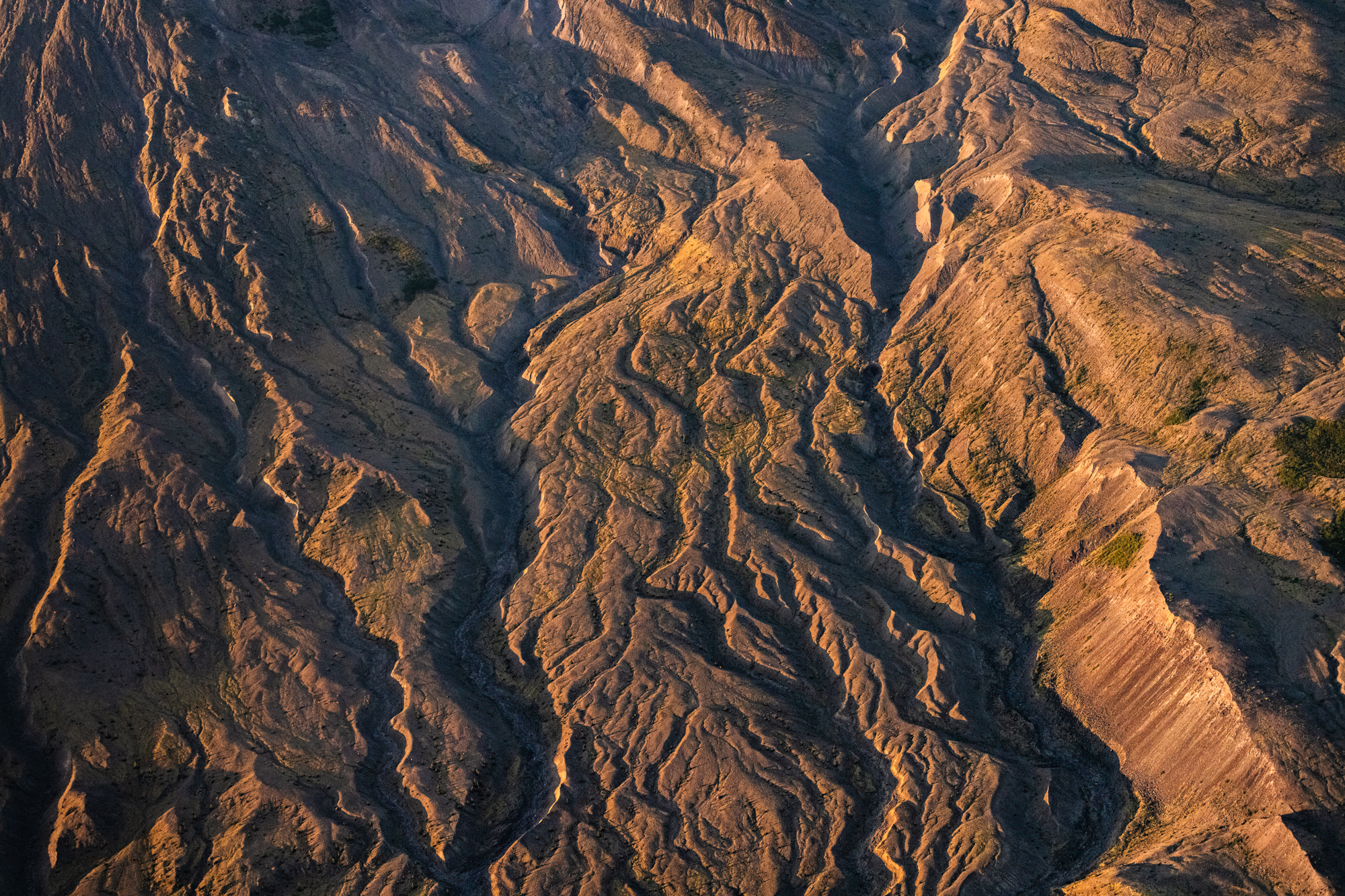
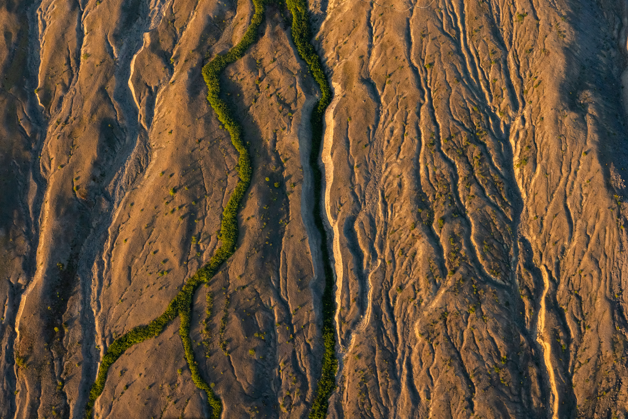
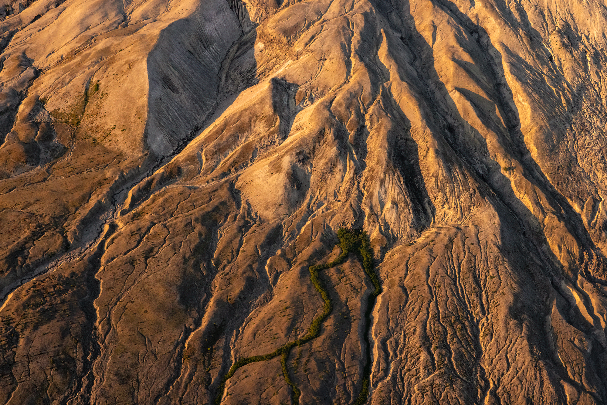
Another remanent in the landscape on Mount St Helens is it’s intricate and unique patterns carved out from the flows of debris during the volcanic eruption. These flows of debris are known as ‘lahar’ and are best viewed from an aerial perspective.
These landscape features begin on Mount St Helens itself and can be traced downwards to the base of the mountain. Lahar flows on Mount St Helens even continue all the way into the surrounding landscape. Photographing these abstract textures from the airplane was incredible!
Related Aerial Photography Post:
Above Oregon's Central Cascades
View a collection of aerial landscape photography captured from a small aircraft over Broken Top Mt, Three Finger Jack, Mt Jefferson, Mt Washington and the Sisters mountains.
Related Aerial Photography Post:
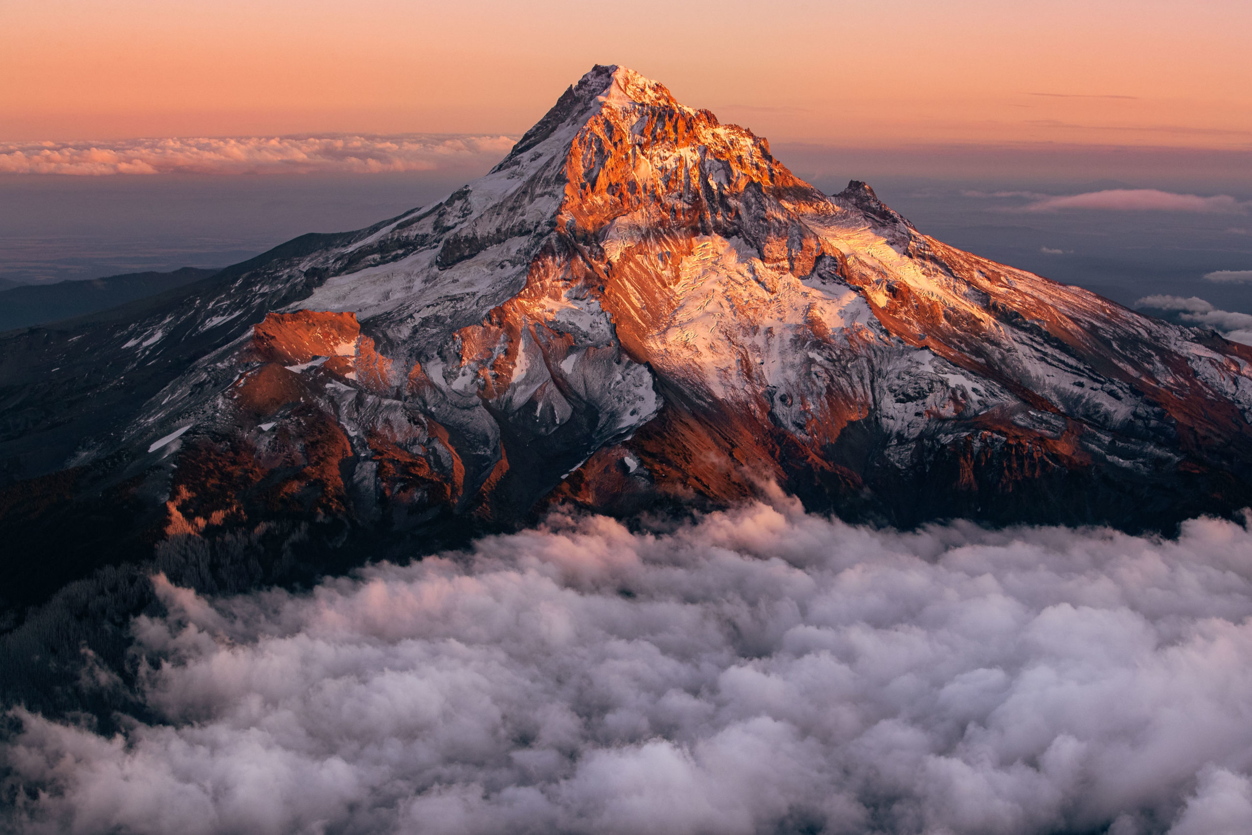
Above Mt Hood, Oregon
View a collection of aerial landscape photography images of Oregon’s Mount Hood during sunset.

Related Aerial Photography Post:
Aerial Photography: The High-Lights
View Andrew Studer’s complete collection of aerial photography captured from drones, airplanes and helicopters all around the world.
Related Aerial Photography Post:
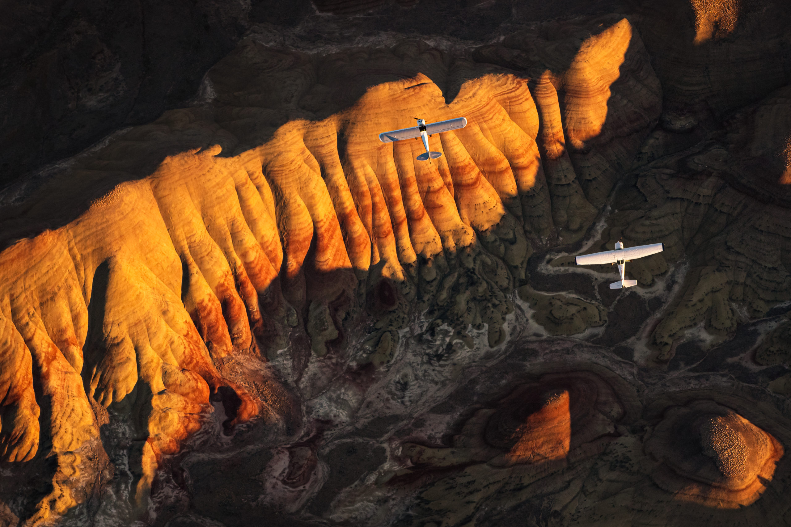
Aviation Photography Over Oregon
Andrew and a team of pilots set out to capture an image of two airplanes flying over Oregon’s Painted Hills. View a gallery of images and watch a ‘behind the scenes’ documentary covering the photoshoot.

